“Where can we safely fly drones in Singapore?”
We regularly hear this question from trainees undergoing our Academy courses, local drone enthusiasts and visitors to Singapore
In this
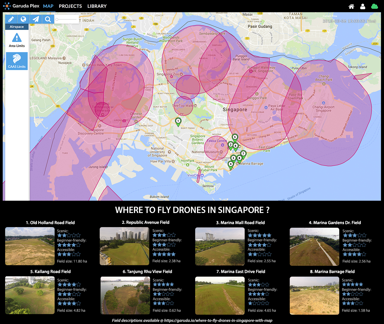
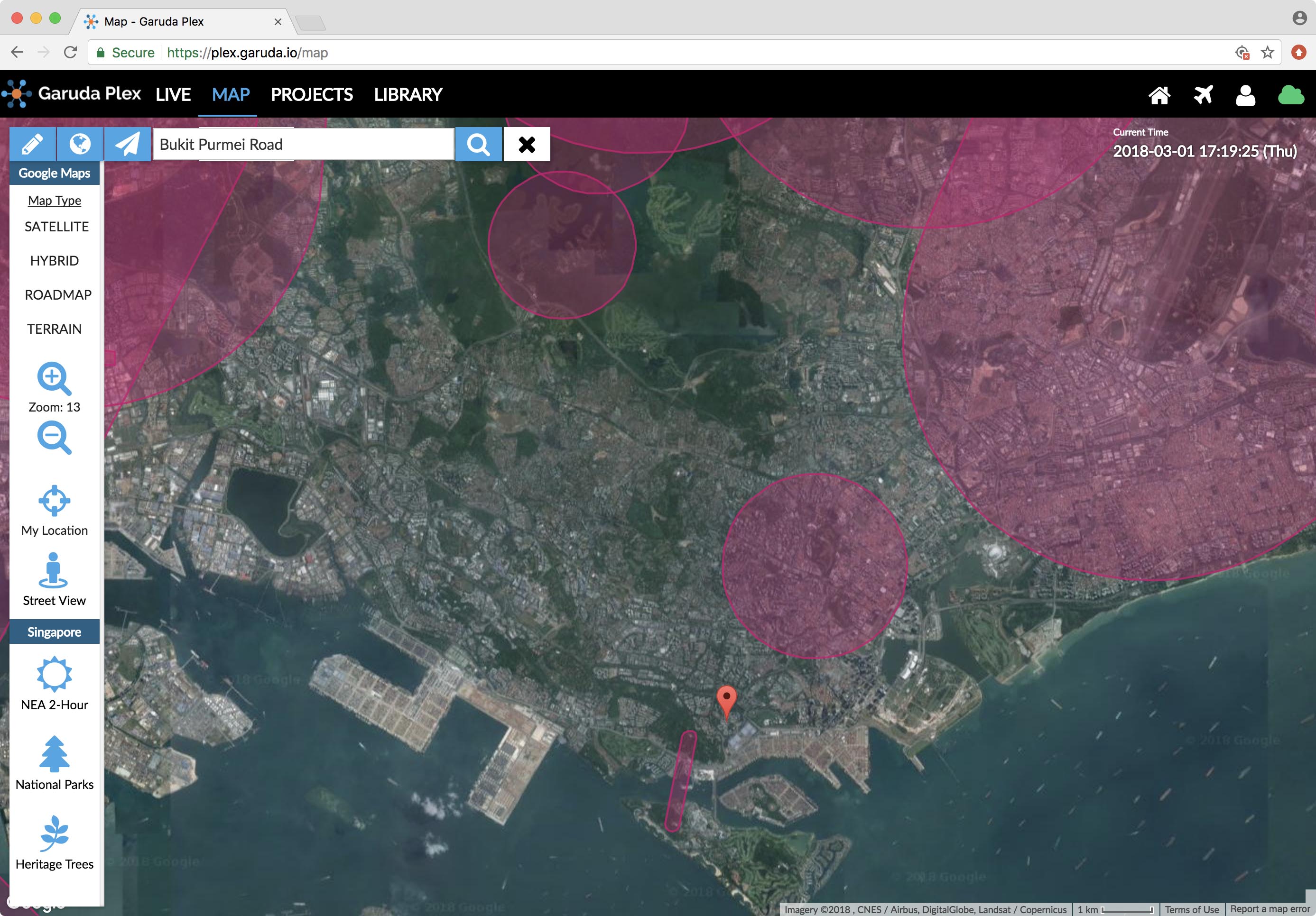
Garuda Plex Map with NFZ data and the top 8 favourite locations to fly drones in Singapore
(updated as of 6 March 2018)
Click here to download map (JPG format)
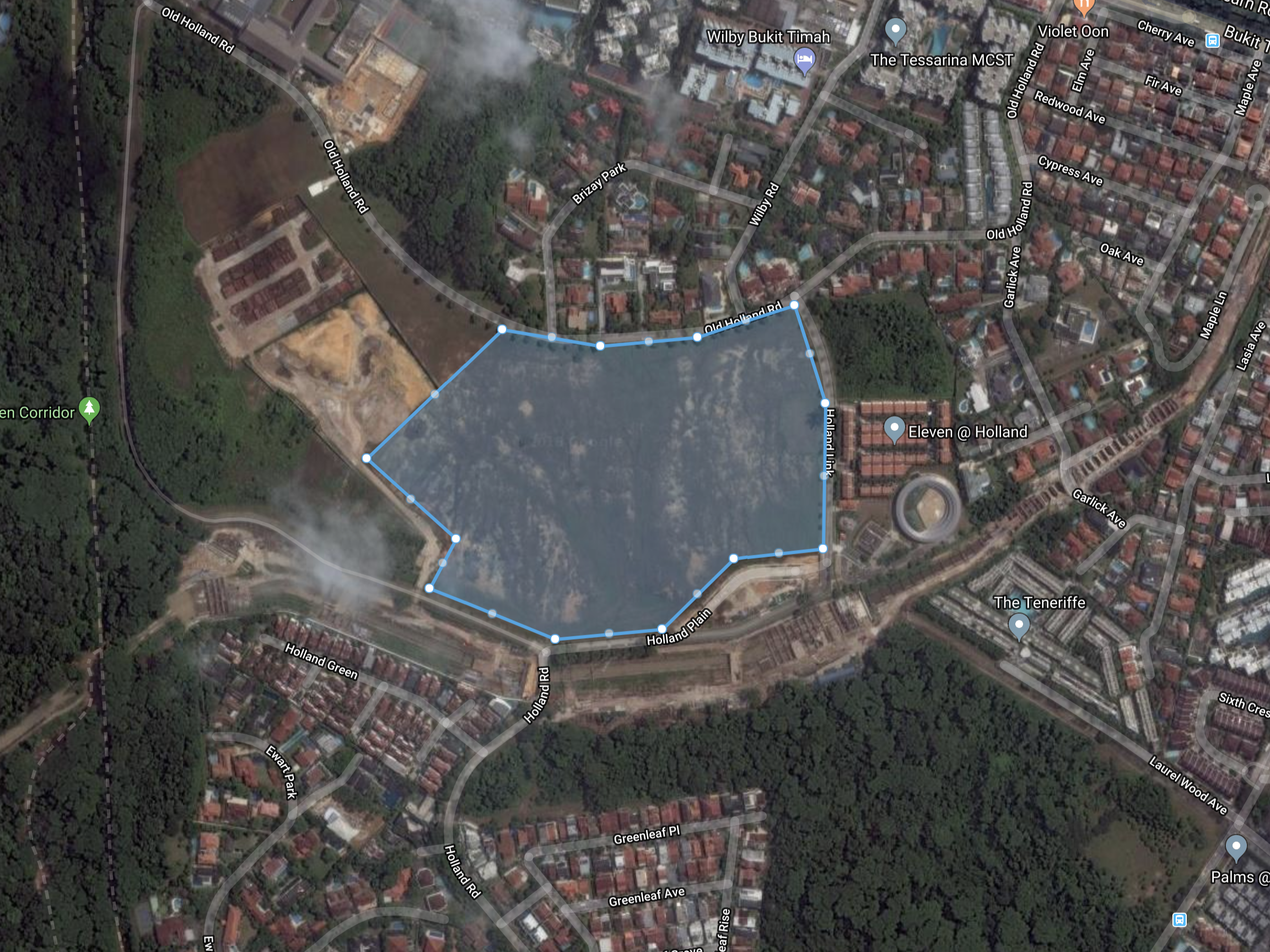
1. Old Holland Road Field
Also known as “Blackmore Drive Field” by some pilots, OHR field is the CAAS assessment site for anyone attaining their UOP certification. Now you know where you should practice your skills before UOP assessment.

Aerial view of Old Holland Road Field
Field size: 11.80 ha
By MRT: King Albert Park Station
By bus: 66/67/170/174
Navigate on: Google Map
Scenic: ★★☆☆☆
Beginner-friendly: ★★★★☆
Accessible: ★★★☆☆
(Private transport recommended)
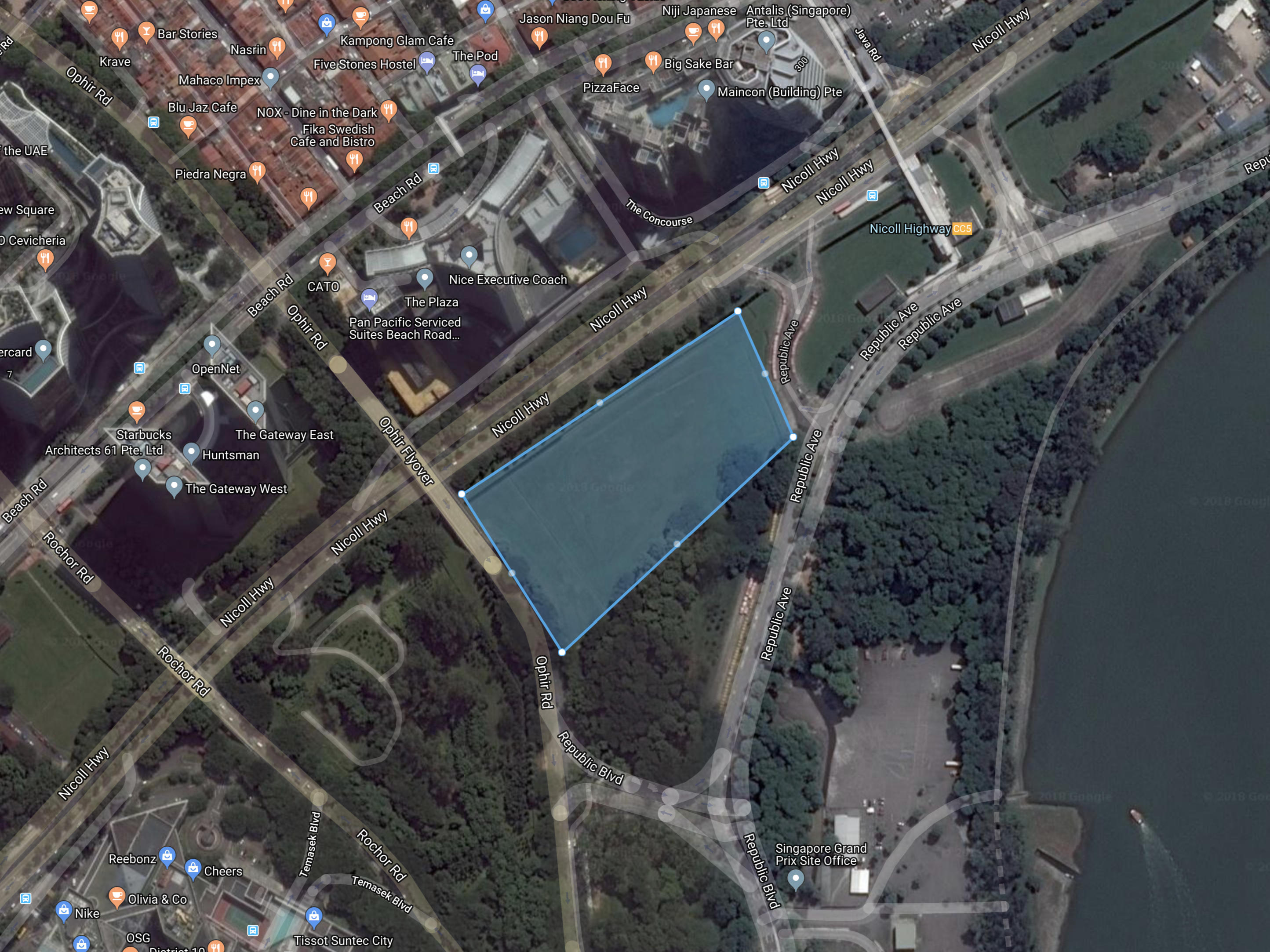
2. Republic Avenue Field
The most accessible of all fields by public transport (Nicoll Highway MRT), Republic Avenue field is located near the Nicoll Highway. Avoid flying over traffic or near the MRT building to minimize risks involved.
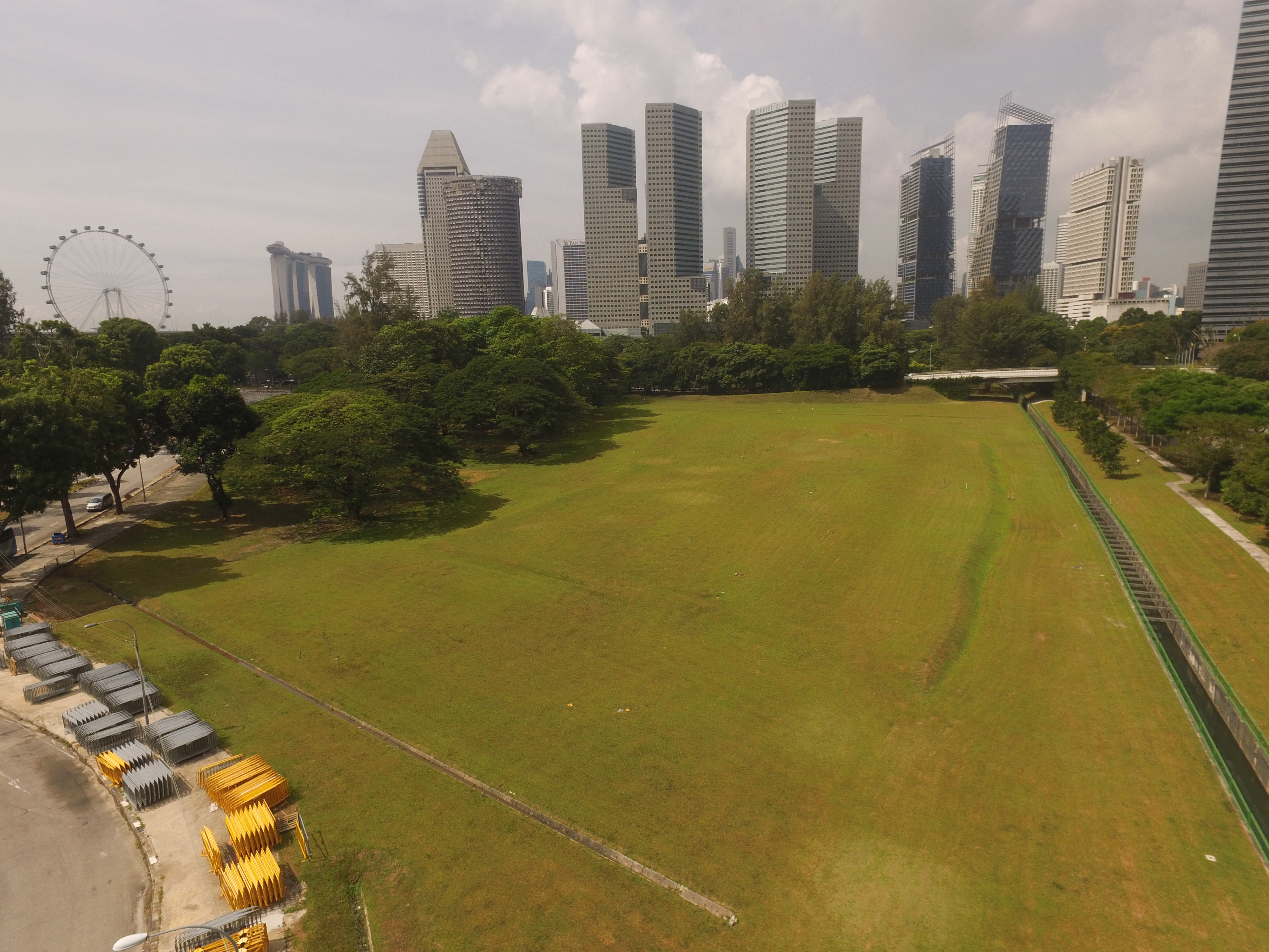
Aerial view of Republic Avenue Field
Field size: 2.38 ha
By MRT: Nicoll Highway Station
By bus: 10/14/16/70/70M/196
Navigate on: Google Map
Scenic: ★★★☆☆
Beginner-friendly: ★★★☆☆
Accessible: ★★★★★
3. Marina Mall Road Field
Marina Mall Road field offers drone pilots scenic aerial shots over renowned tourist spots like Marina Bay Sands and Gardens by The Bay. Beware not to fly into the Gardens’ area due to private land ownership.
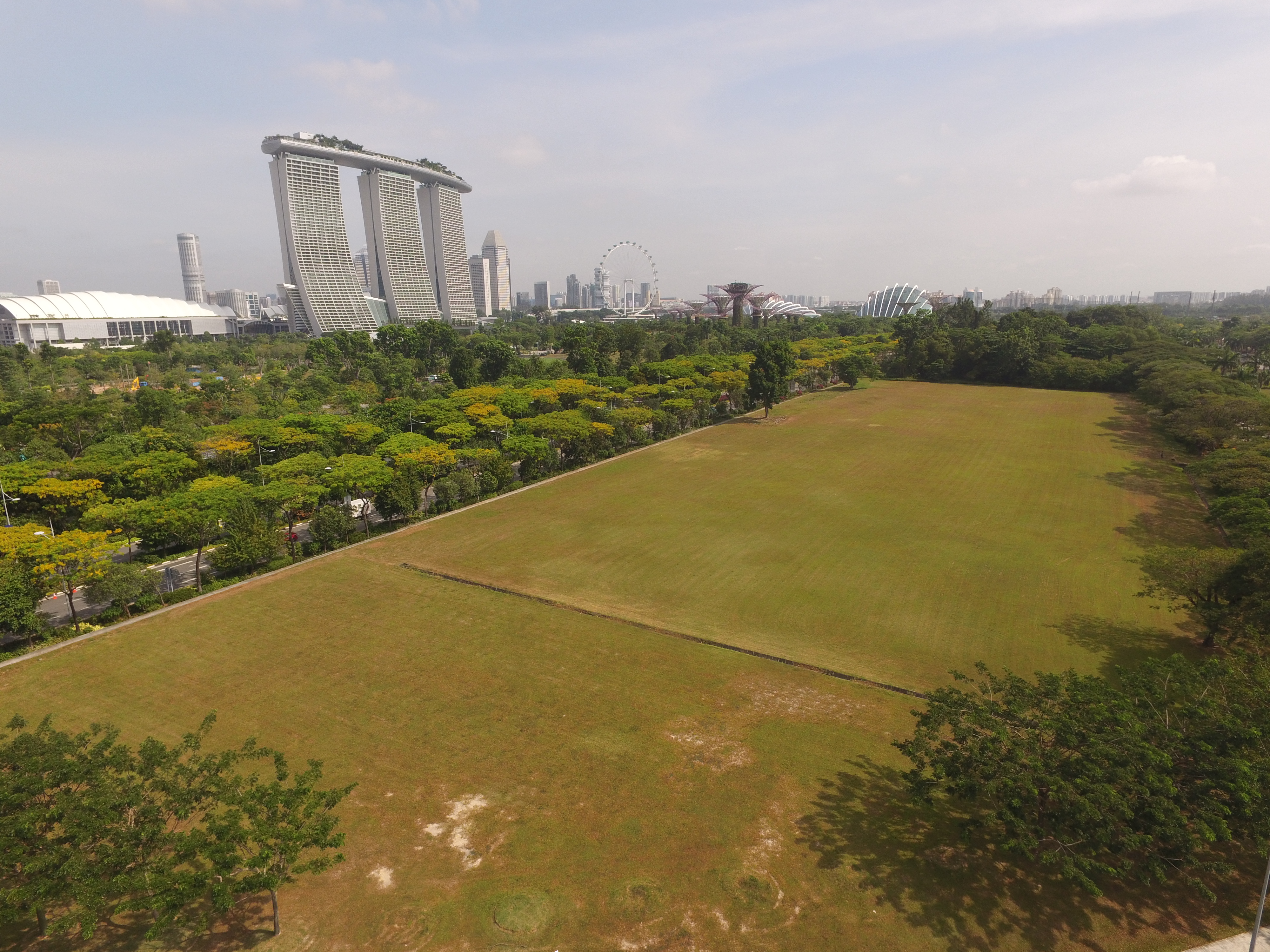
Aerial view of Marina Mall Road Field
Field size: 2.55 ha
By MRT: Marina South Pier Station
By bus: 400/402
Navigate on: Google Map
Scenic: ★★★★★
Beginner-friendly: ★★★★☆
Accessible: ★★☆☆☆
(Private transport recommended)
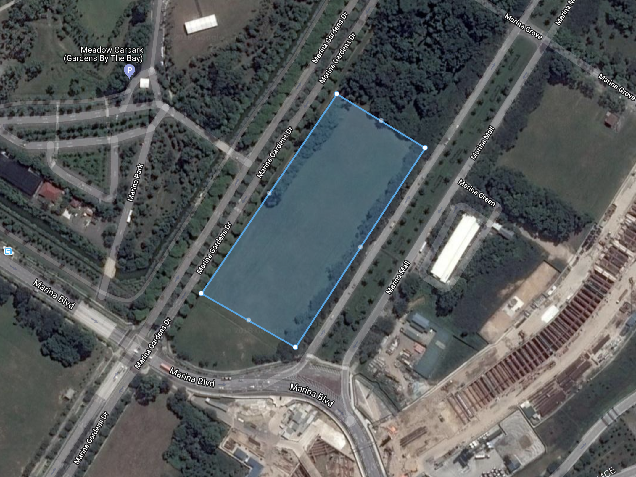
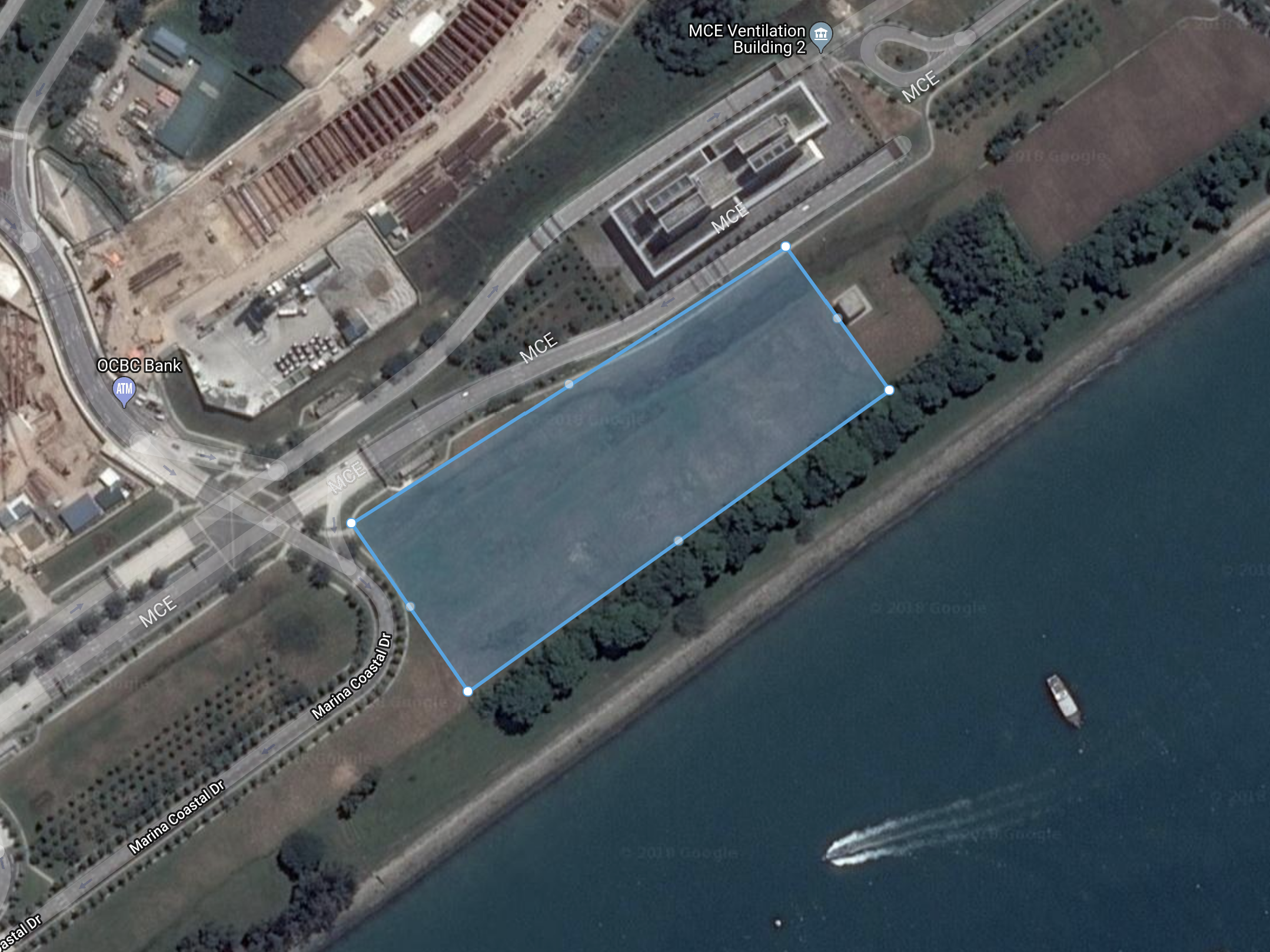
4. Marina Gardens Drive Field
Located (almost) in between Marina Mall Road field and Marina Barrage field, this field is further up from the Marina Cruise Centre. Avoid flying too near or over the cruise
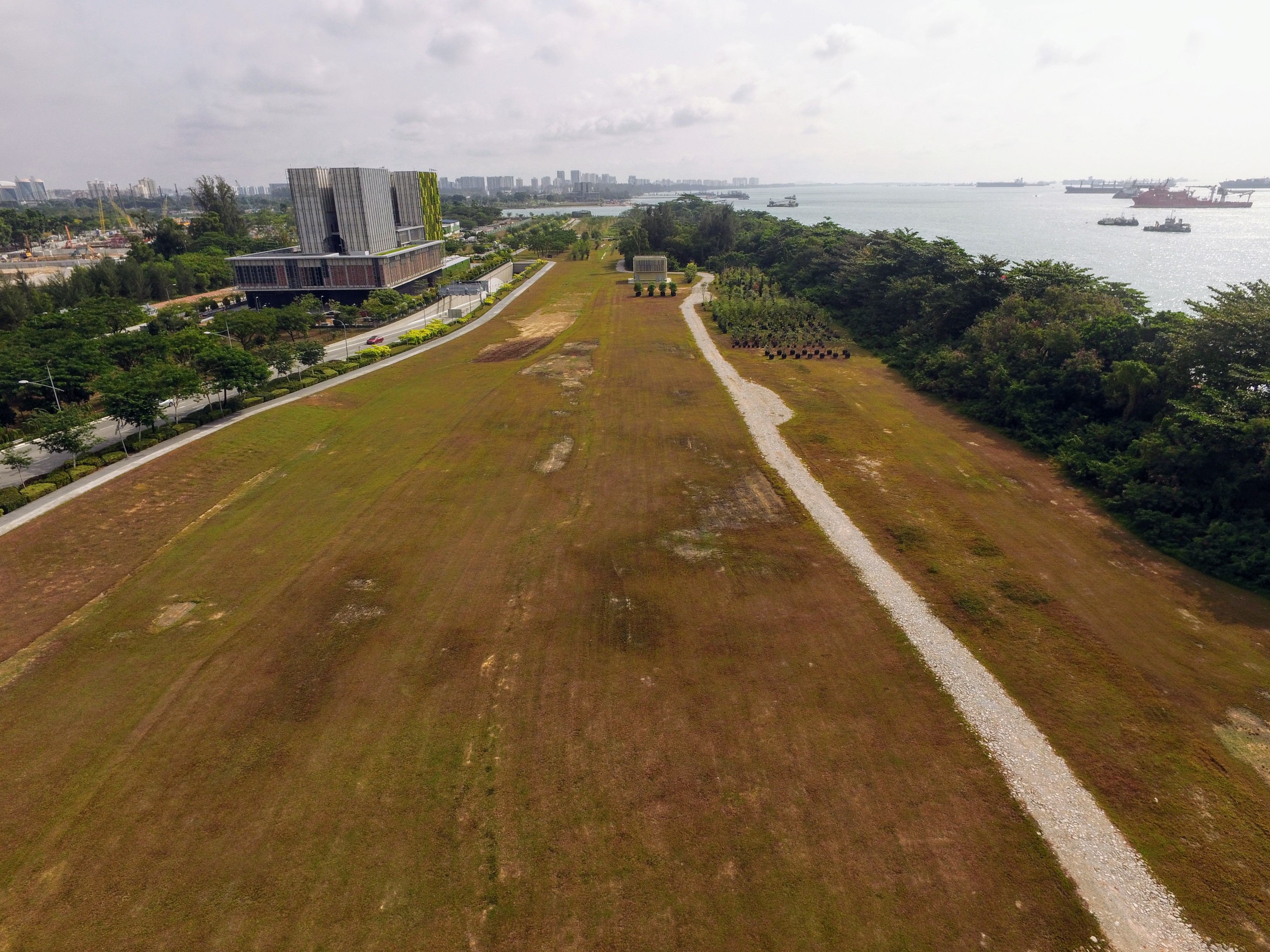
Aerial view of Marina Gardens Drive Field
Field size: 2.56 ha
By MRT: Marina South Pier Station
By bus: 402
Navigate on: Google Map
Scenic: ★★★☆☆
Beginner-friendly: ★★☆☆☆
Accessible: ★★★★☆
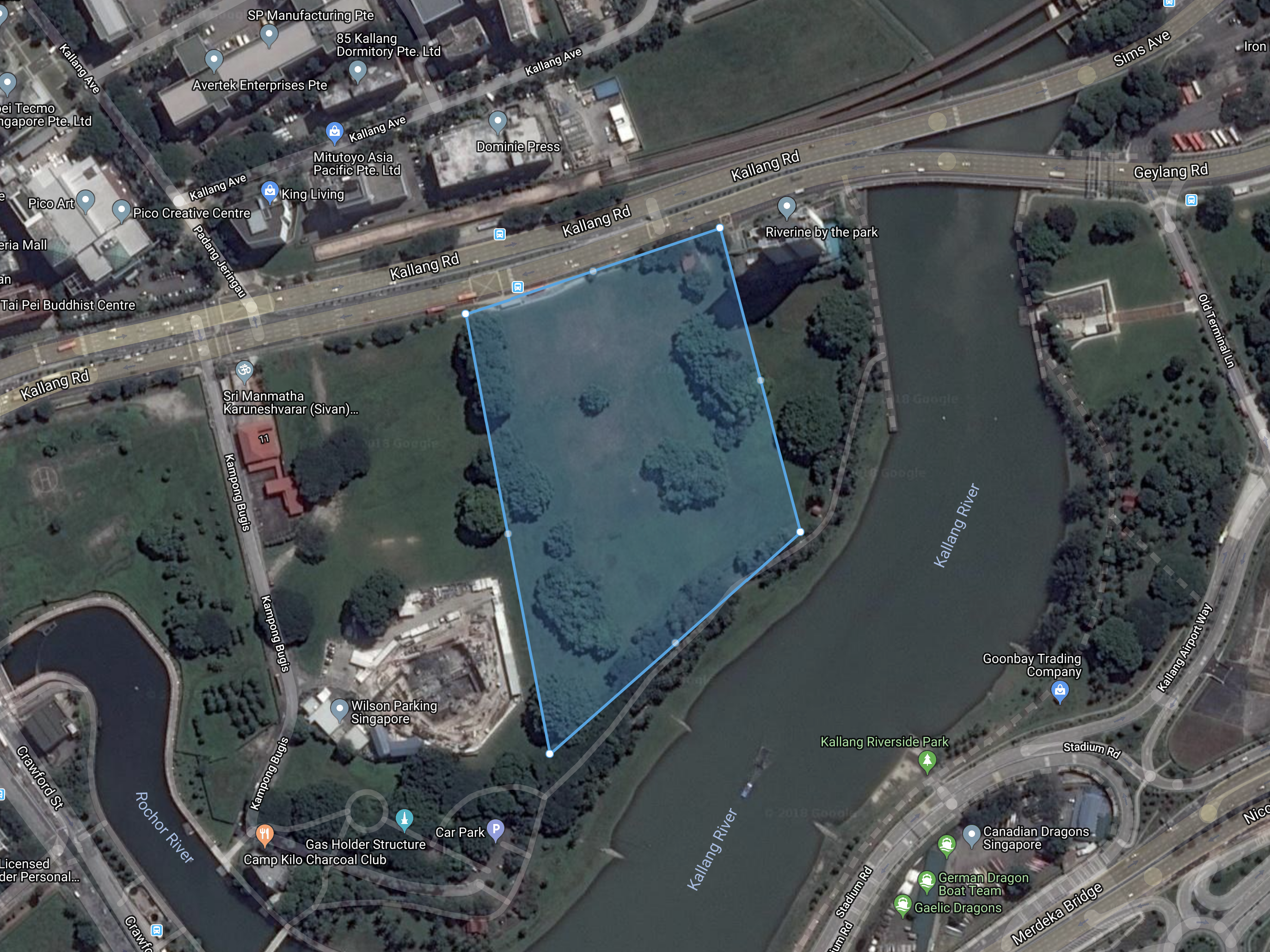
5. Kallang Road Field
Most accessible by bus, Kallang Road field is located in between Kallang MRT station and Lavender MRT station. Here you can get the nearest shot of Singapore National Stadium.

Aerial view of Kallang Road Field
Field size: 4.82 ha
By MRT: Kallang Station
By bus: 2/7/12/13/32/33/51/63/67/80/100/141/197
Navigate on: Google Map
Scenic: ★★★★☆
Beginner-friendly: ★★★☆☆
Accessible: ★★★★☆
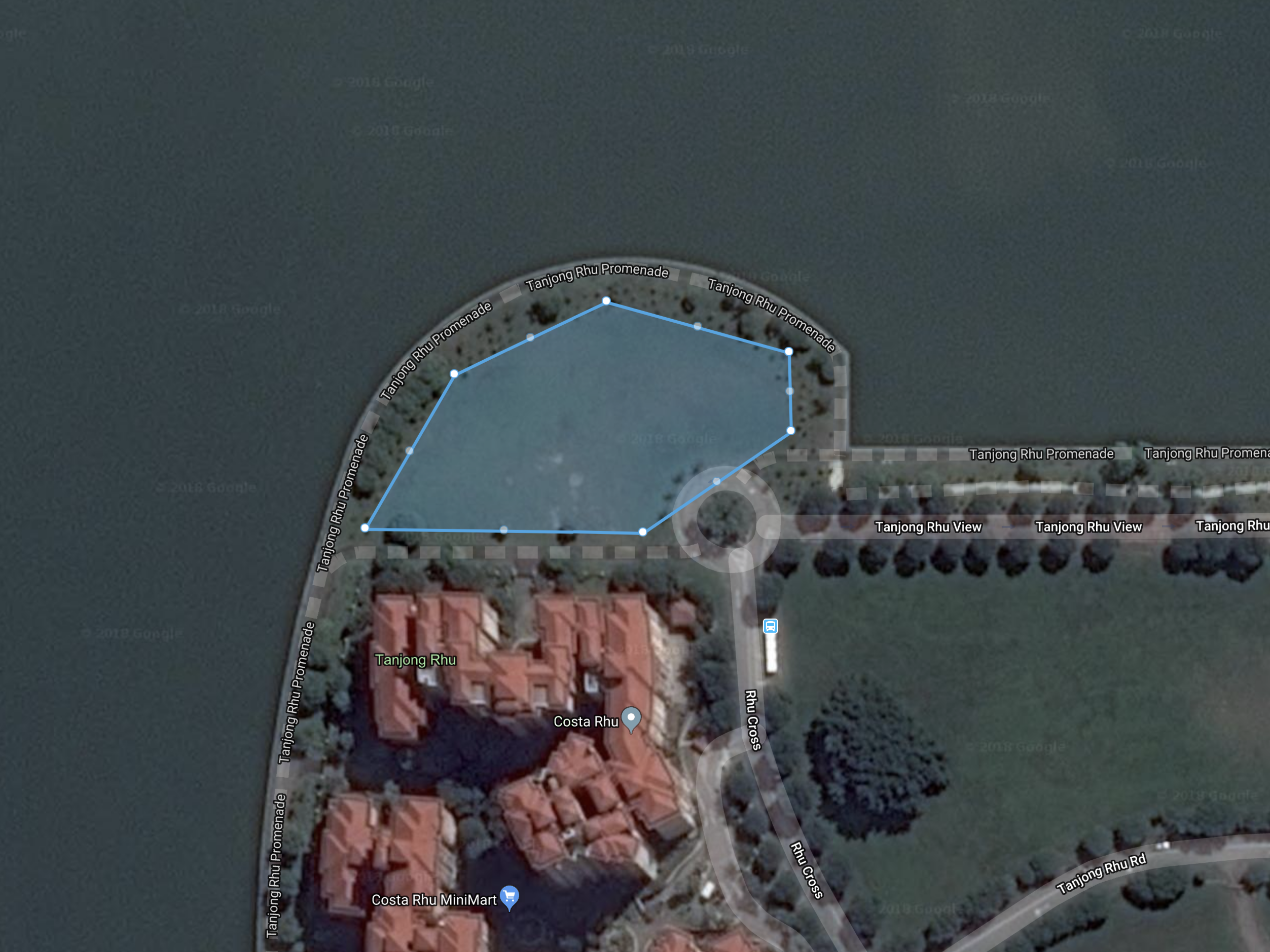
6. Tanjung Rhu View Field
Tanjung Rhu View field is located right across from Republic Avenue field over Kallang river. There is a green patch opposite Costa Rhu occasionally occupied for events.
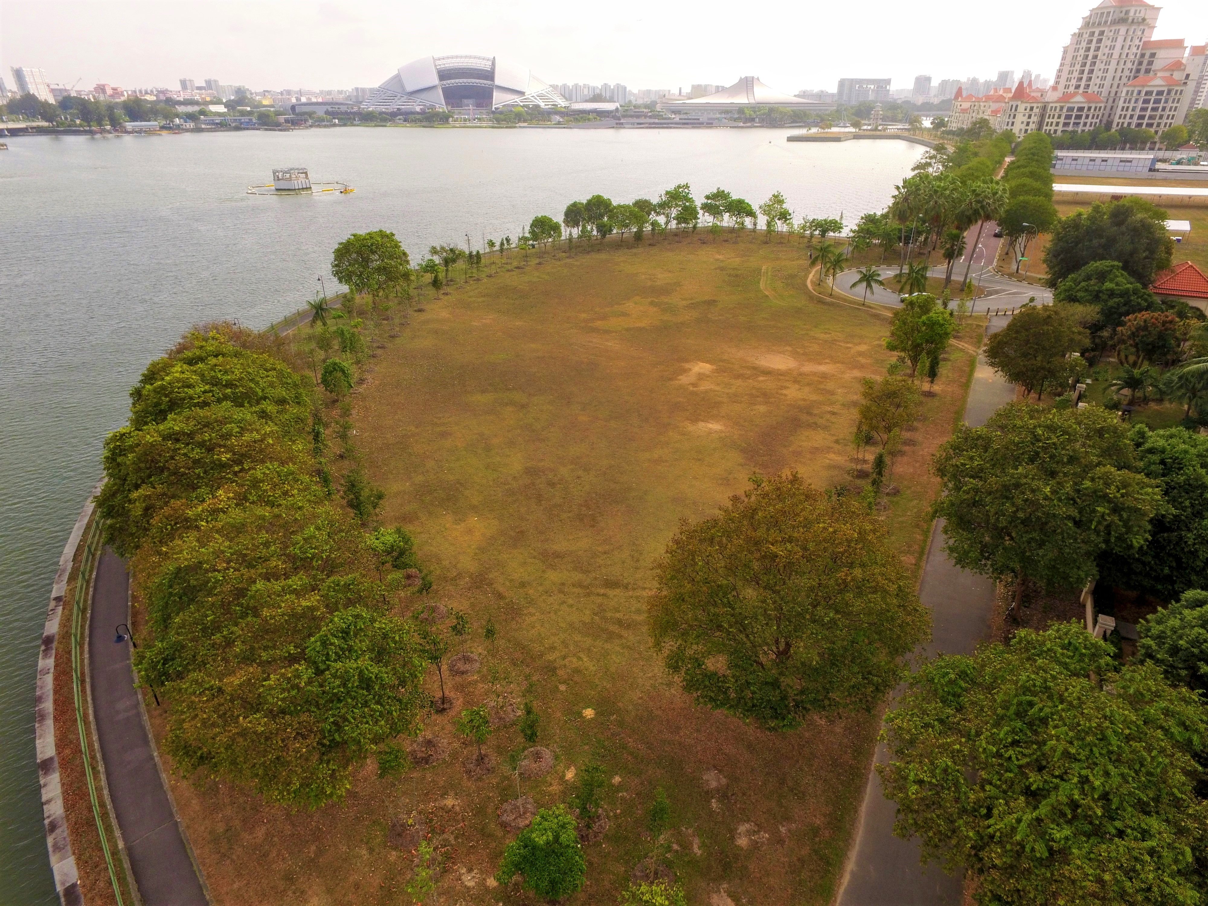
Aerial view of Tanjung Rhu View Field
Field size: 0.62 ha
By MRT: Promenade Station
By bus: 11/158
Navigate on: Google Map
Scenic: ★★★★★
Beginner-friendly: ★★☆☆☆
Accessible: ★★★☆☆
(Private transport recommended)
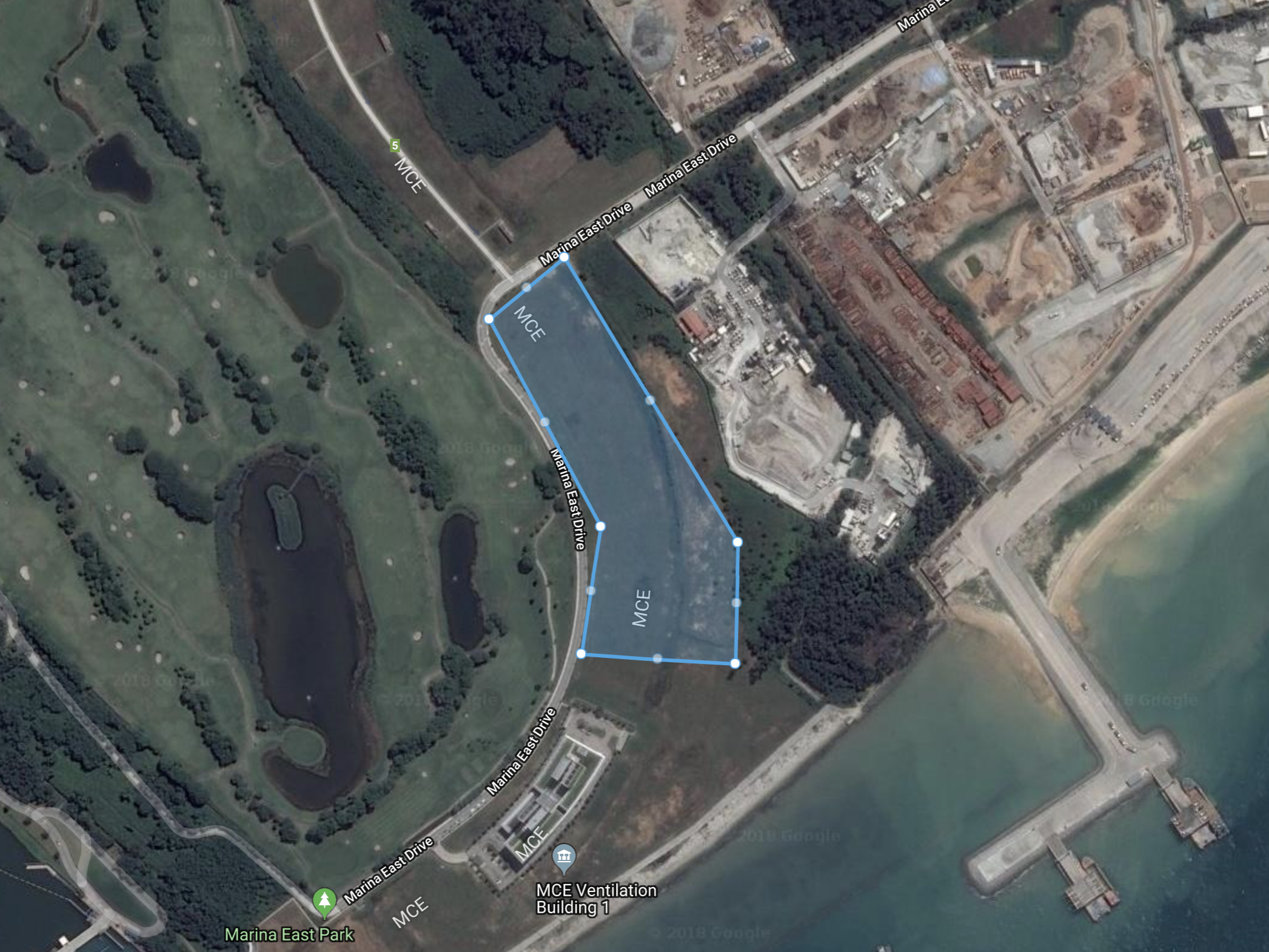
7. Marina East Drive Field
This is one of our
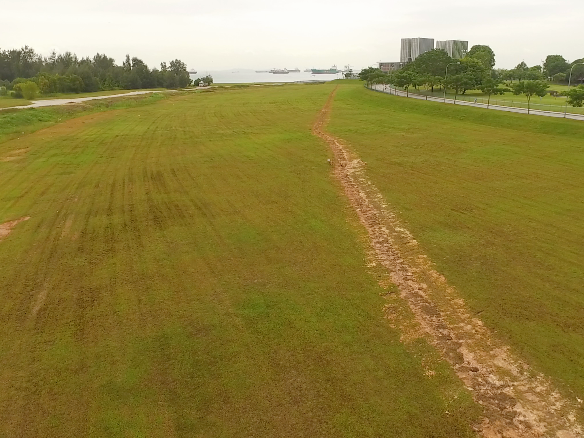
Aerial view of Marina East Drive Field
Field size: 4.65 ha
By MRT: Mountbatten Station
By bus: 14/16/158/196
Navigate on: Google Map
Scenic: ★★★☆☆
Beginner-friendly: ★★★★☆
Accessible: ★☆☆☆☆
(Private transport recommended)
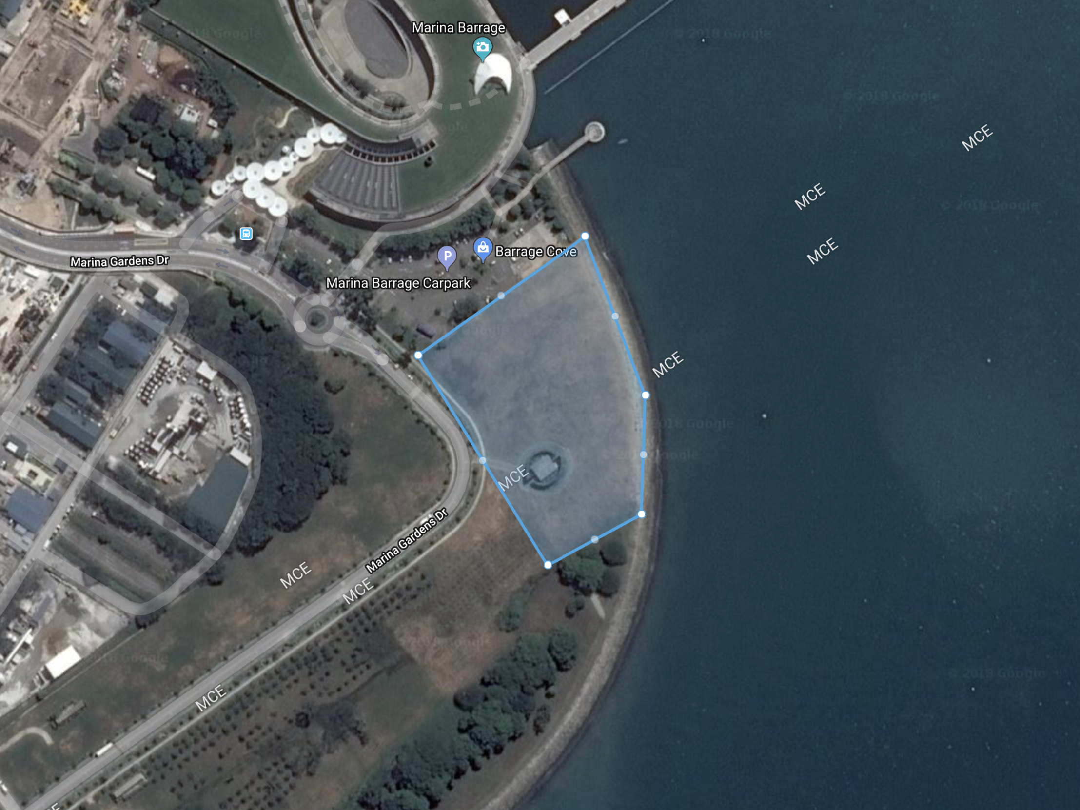
8. Marina Barrage Field
This is the most popular field of this list. Expect to meet other drone enthusiasts be it weekday or weekend. Beware not to fly over the barrage building and taking off from the top of the building is prohibited.

Aerial view of Marina Barrage Field
Field size: 1.58 ha
By MRT: Marina South Pier Station
By bus: 400
Navigate on: Google Map
Scenic: ★★★★★
Beginner-friendly: ★★☆☆☆
Accessible: ★★★☆☆
Disclaimers:
All fields are screened based on No Fly Zone (NFZ) data published by Civil Aviation Authority of Singapore
Content contributors:
1. Hozea Ngoh, CAAS-licensed drone pilot
2. Alex Soh, CAAS-licensed drone pilot
3. Tan
4. Chwee Guan, trained drone pilot
5. Charles Koh, trained drone pilot
Planning to fly your drones at places out of the list?
Use the Garuda Plex Map to check whether the location is part of a restricted zone or near an airport or airbase to ensure compliance.

